KeyFacts about QGIS
The QGIS project has a large community of developers and users. This success is due to a positive dynamic set up by each contributor. Each contributor brings his or her business expertise: development, geomatics, integration, and other businesses, bringing a diversity of points of view and a wide range of uses.
QGIS offers a wide range of functionalities that we cannot mention here. Amongst these, we can mention:
- a great flexibility of configuration;
- a management of almost all existing file formats (even those very specific) and to write in most of them;
- to perform natively most of the spatial processing, from the most common to the most exotic;
- create maps and export them with a high quality layout;
- automate tasks or extend functionalities thanks to a complete and documented API.


Strong involvement
The development of QGIS started a long time ago. Camptocamp started very early to use it in a project for IGN and to fund some contributions (e.g. support for WMTS services). Then we contributed in several ways: by funding evolutions, participating in code sprints, presentations, development of patches or new features, extensions.
Camptocamp continues to contribute to the QGIS project, which is increasingly used by our customers who ask us to make it evolve.
We use it as a map server in our GeoMapFish product, we can use it for data processing, to develop custom projects for our customers like EDF.


Products using QGIS
- Our GeoMapfish web portal can use QGIS server as a cartographic backend. Saint-Pierre and Tadao portals use it as well.
- We also use QGIS to process data streams, as we do for Tadao,
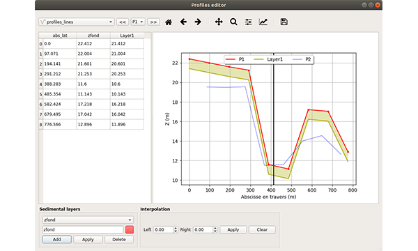
- Some of our clients want to be able to do very advanced business analyses (sedimentation of rivers subject to a hydraulic dam)
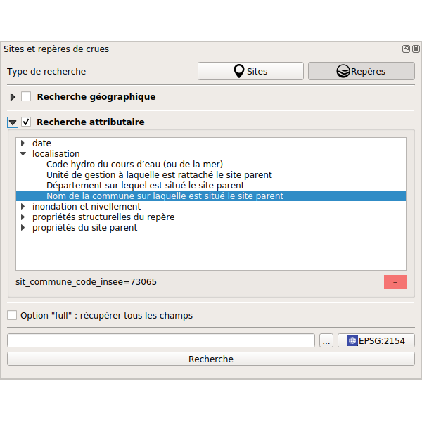
- QGIS is widely used by our clients for editing via a database or WFS-T flows, as for the Communauté d'Agglomération de Grand Châtellerault


Use cases
The use cases are very varied, as they cover all professions: network management and analysis (what happens if we stop a valve here?), environmental analysis, asset management (what is there at such and such a place), data processing for a data manager, prospective analysis of river sedimentation.
QGIS is therefore aimed at different types of users.
Want to know more? Contact us!
QGIS Trainings
Career
Interested in working in an inspiring environment and joining our motivated and multicultural teams?


