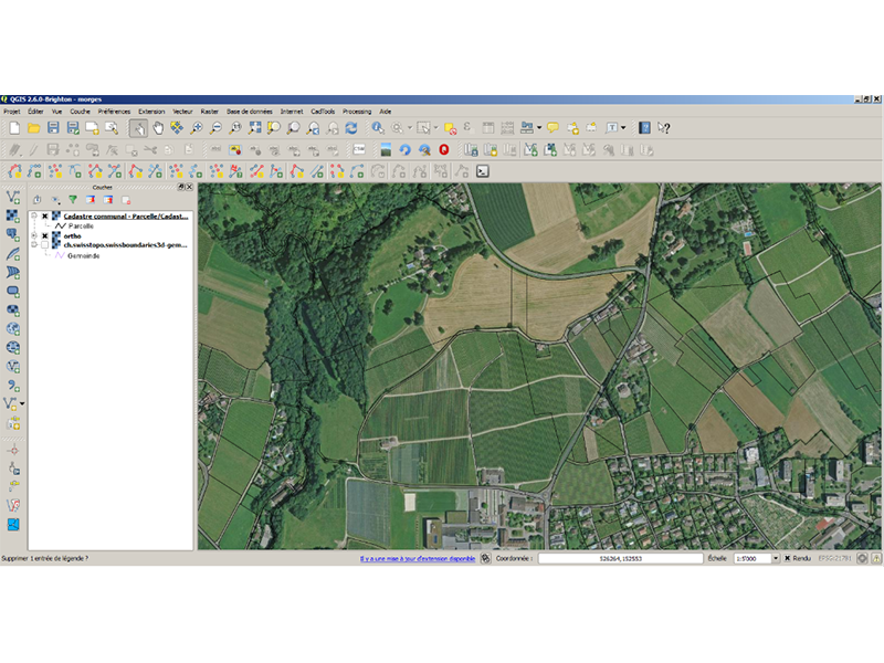
Camptocamp's Open Source GIS Solution...
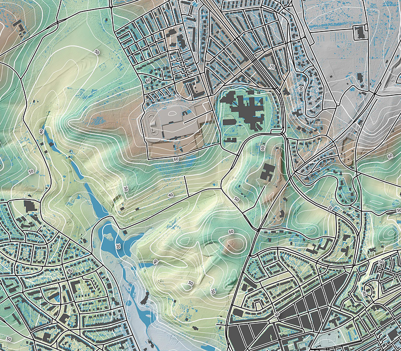
... is based on QGIS and provides a rich and stable geospatial API to develop efficient business applications. The desktop, tablet and server versions support integrated workflows from data capturing in the field to Web services publication using advanced desktop GIS operations.
This mature and fully documented solution is easy to use and implements classical GIS interfaces and workflows. A large user community develops plugins and additional features using a rich Python API.

Bugfixes...
... together with new features provide new releases. It also maintains a long-term stable release used for enterprise deployments. The community decides on the roadmap and provides a transparent vision of the project's evolution. Migrations and upgrades can be planed well in advance, and features are maintained as long as users need them.
Camptocamp supports QGIS enterprise deployments by maintaining certified builds. We offer various trainings, from GIS introduction to advanced plugin development. We ensure build performance, stability and compliance to OGC interoperability criteria by regularly running tests. In the event that you should encounter an issue, we help in bug qualification and resolution.


Areas of expertise
Geodata
Geospatial Analytics
Maps and Virtual Globes
Spatial Data Infrastructure (SDI)
IT Development
Get in contact with us!
Career
Interested in working in an inspiring environment and joining our motivated and multicultural teams?


