Camptocamp Data engineers help you during the whole data lifecycle.

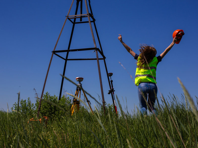
From its sourcing...
...via its transformation to match your data model concept to its integration in the target system. There are many data sources such as Open data, crowd sourced data, data generated by IoT devices, data generated or collected by your own organisation and proprietary data sets. We help you to identify the right dataset. Our data scientists know the geospatial data ecosystem, can decipher meta information, pilot data integrations and ask the right questions to support you in taking well-informed decisions.
Collecting your own data and integrating them in your information system is crucial for analysing, planning and operating your business activities. Be it in the field with a tablet, on a desktop computer with an expert system, offline or online, we make sure it’s easy for the user to collect and edit all kind of data. We propose pipelines to address data synchronisation and edit conflict resolution, leveraging proven workflows.

It's a big challenge...
... to define a model to structure and store the data in your information system. It must support business needs as well as external standards to ensure adequate interoperability. Camptocamp helps you to model your data, transform them to fit in and homogenize them in order to integrate the data in your information system.
As time passes, data needs to be updated. Our data engineers develop automated pipelines to regularly update your system. We ensure a smooth process using an ORM for data structure changes, data consistency tests, queuing mechanisms and a pipeline addressing all aspects of the update process (data, metadata, service, etc.). Data are always consistent and up-to-date, and the system reports any failure.
IoT, cameras, and other devices capture lots of raw data. We work to extract important information from these data sources using AI processes. Our goal is for your information system to enrich itself automatically as new data are fed in.


Areas of expertise
Geospatial Analytics
Geospatial Information System (GIS)
Maps and Virtual Globes
Spatial Data Infrastructure (SDI)
IT Development
Get in contact with us!
Career
Interested in working in an inspiring environment and joining our motivated and multicultural teams?


