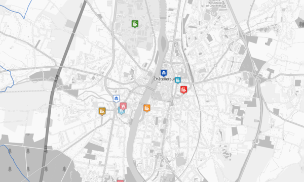
Different ways of using MapServer:
- CGI parser
- WMS/WFS services
- OGC API
- Scripting (Python, PhP, JAVA)
Main features:
- reading a lot of GIS format (Tif, COG, SHP, PostGIS, WMS/WFS)
- export data in several GIS formats (XML, GML, CSV, SHP/ZIP, vector tiles)
- OGC services and standards: WMS, WFS, WCS, SOS, SLD, OGC API
- Advanced Styling
- Vector and Raster class categorization
- support of Inspire metadata
- and a lot of other features!
- Very good performances with very little optimization required, making it an easy server to deploy
- Text files based for configuration, which can be easily pushed into a git repository, and splited into several map configuration files.
Strong involvement
Camptocamp is strongly using MapServer as map server for his projects because it is a powerful, full-featured, server. Of course, some use case need other server sometime, but MapServer fills all the feature we generally need. Camptocamp contributes to MapServer from time to time for source code, bug fixes, documentation, translation. We are implied in the dev and user, French speaking and international community.


Products using MapServer
Camptocamp uses MapServer from 20 years now. First with CartoWeb product, which was strongly based on MapServer and was a great Camtpocamp success! Our new generation of Web GIS, GeoMapfish, is based on OGC services, so we started with MapServer, and now we can use most others map server.
For tailored and high-performance project, we are often using MapServer, for example for GeoAdmin.
A lot of products use MapServer all over the world. You can see some product at the MapServer Site gallery.
Use cases
You want to add a map on your website, share your spatial data between different department, allow user to edit, query the data. MapServer will be a part of your web GIS system.
You can easily create a map service but if you have a more complex map to integrate within your project, Camptocamp can increase your productivity offering you training, development and support for your team!
We would be happy to get in touch with you and discuss your project ideas.
Career
Interested in working in an inspiring environment and joining our motivated and multicultural teams?


