From 3D Maps to Gameplay: Building the Geo Challenge

Frédéric Junod
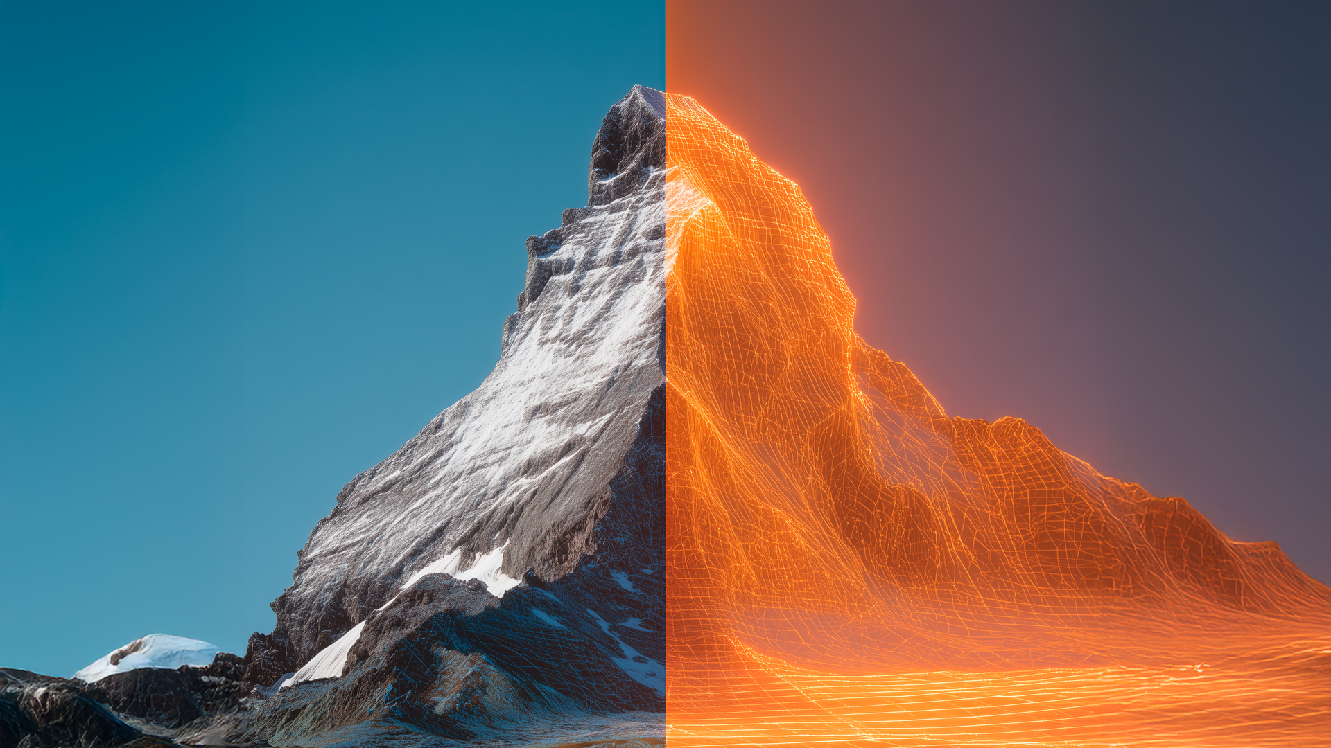
It’s often said that the best way to showcase complex technical expertise is to make it look simple. That’s the philosophy behind the Geo Challenge, a side project we built here at Camptocamp. On the surface, it’s a fun, addictive game: we drop you somewhere in Switzerland, France, or Germany, give you a 3D view of the landscape, and challenge you to guess your location on a map.
The key message is simple: what looks fun and effortless is grounded in serious geospatial know-how.
But why a game?
Why take this approach at all—and why a game?
The original trigger for this project was finding new, engaging ways to showcase the power of 3D geospatial data. As developers, we love a technical demo—a showcase of a specific function or an impressive data layer. I’ve done many of those in the past, but they’re often only seen by coworkers and a handful of customers.
I wanted to create something that everyone could use, something that would resonate with a non-technical audience while still demonstrating our cutting-edge capabilities. I started by combining a collection of my existing Cesium code experiments to build a small application, and the idea began to take shape.
I’ve been familiar with the popularity of GeoGuessr for years, and I saw an opportunity to do something similar, but with a deliberate focus on high-fidelity, topographical data. A classic demo can tell people about 3D data; a game, however, allows them to feel its value. It makes the player the ultimate tester of spatial accuracy.
Why Switzerland (and beyond)
Switzerland was an obvious first choice for several compelling reasons. During my everyday work, I’m constantly looking at Swiss maps, yet I’ve realised that I’m surprisingly bad at naming places on the fly. More importantly, Switzerland is ideal because I have access to exceptionally high-quality, precise data from Swisstopo.
The country’s complex, dramatic mountainous terrain is a perfect—almost theatrical—showcase for 3D elevation data. If you can build an engaging, accurate 3D experience here, you can do it anywhere.
As Camptocamp also has offices in France and Germany, we leveraged data from Google Maps to include our clients and colleagues across the border in the fun.
Where the serious engineering begins
I hoped players would immediately grasp the game’s mechanics. The goal was to create an addictive experience—one that encourages players to keep improving their score. But when does this stop being “just fun” and start revealing the professional expertise behind it?
For me, that pivot point is the scoring system. Creating a mechanism that accurately calculates scores based on the distance of a player’s guess—and crucially, managing a global leaderboard—is where the professional work really begins. It requires a robust, scalable backend.
To intentionally explore cloud-native technology, I used existing solutions instead of writing custom server code. While not technically difficult, gaining expertise in this technology took time and demonstrated that even playful side projects can be an excellent way to develop skills that feed directly back into client work.
Bridging playfulness and credibility
The Geo Challenge is our way of bridging playfulness and credibility. It invites anyone to interact with sophisticated 3D geospatial data, proving that our serious technical know-how is the foundation for an experience that is engaging, accessible—and yes, seriously fun.
Author
Career
Interested in working in an inspiring environment and joining our motivated and multicultural teams?